National Hurricane Center Graphical Tropical Weather Outlooks National Hurricane Center Graphical Tropical Weather Outlooks

  • CPHC Central North Pacific Outlook
    by nhcwebmaster@noaa.gov (NHC Webmaster) on October 3, 2025 at 8:40 am

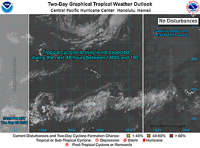
    ZCZC HFOTWOCP ALLTTAA00 PHFO DDHHMMTropical Weather OutlookNWS Central Pacific Hurricane Center Honolulu HIIssued by NWS National Hurricane Center Miami FL800 PM HST Thu Oct 02 2025For the central North Pacific...between 140W and 180W:Active Systems:The National Hurricane Center is issuing advisories on TropicalStorm Octave, located in the east Pacific, well southwest of thesouthern tip of the Baja California Peninsula.Tropical cyclone formation is not expected during the next 7 days.Forecaster Jelsema

  • NHC Eastern North Pacific Outlook
    by nhcwebmaster@noaa.gov (NHC Webmaster) on October 3, 2025 at 8:40 am

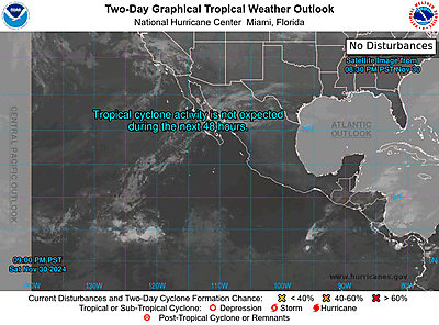
    ZCZC MIATWOEP ALLTTAA00 KNHC DDHHMMTropical Weather OutlookNWS National Hurricane Center Miami FL1100 PM PDT Thu Oct 2 2025For the eastern and central North Pacific east of 180 longitude:Active Systems:The National Hurricane Center is issuing advisories on Tropical Storm Octave, located in the east Pacific, well southwest of the southern tip of the Baja California Peninsula.1. Offshore of the Southwestern Coast of Mexico (EP99):Showers and thunderstorms associated with a trough of low pressure located a few hundred miles off the coast of southwestern Mexico are showing signs of organization. Environmental conditions appear conducive for development, and a tropical depression is likely to form in the next day or so as the system moves generally west-northwestward, parallel to but offshore of the southwestern coast of Mexico. Interests along the southwestern coast of Mexico should monitor the progress of this system.* Formation chance through 48 hours...high...80 percent. * Formation chance through 7 days...high...90 percent.Forecaster Jelsema

  • NHC Atlantic Outlook
    by nhcwebmaster@noaa.gov (NHC Webmaster) on October 3, 2025 at 5:10 am

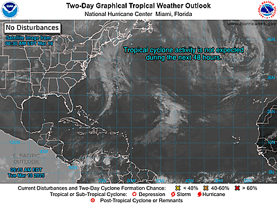
    ZCZC MIATWOAT ALLTTAA00 KNHC DDHHMMTropical Weather OutlookNWS National Hurricane Center Miami FL200 AM EDT Fri Oct 3 2025For the North Atlantic...Caribbean Sea and the Gulf of America:1. Southwestern Atlantic:An area of low pressure may form along a remnant frontal boundary near the northwestern Bahamas and southern Florida during the next day or two. Any additional development is expected to be slow to occur as the system moves northwestward across the Florida Peninsula and into the Gulf of America.* Formation chance through 48 hours...low...10 percent.* Formation chance through 7 days...low...10 percent.2. Central Tropical Atlantic:A tropical wave is expected to move off the coast of Africa over the next day or two. Thereafter, this wave is forecast to interact with another disturbance in the eastern tropical Atlantic, and some slow development of the combined feature is possible as the system moves westward to west-northwestward at 15 to 20 mph.* Formation chance through 48 hours...low...near 0 percent.* Formation chance through 7 days...low...30 percent.Forecaster Jelsema