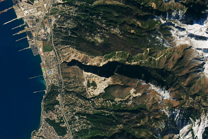
Scientists are using satellite images to locate landslides following the powerful earthquakes that struck in early February.


Scientists are using satellite images to locate landslides following the powerful earthquakes that struck in early February.
