
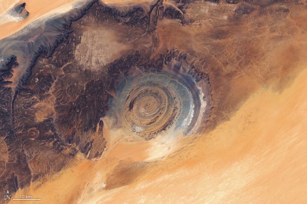
In a remote part of northern Mauritania on the Adrar Plateau lies a desert landscape rich in human history. This region of northwestern Africa is sprinkled with Paleolithic stone tools, Neolithic cave paintings, and the remains of medieval towns once used by caravans crossing the Sahara Desert.
When viewed from space, the landscape appears to be shaped most prominently by natural forces. Wind sculpted the seas of colorful sand dunes and scoured plateaus capped with dark desert pavement, while ancient flowing water carved valleys and networks of dried river channels.
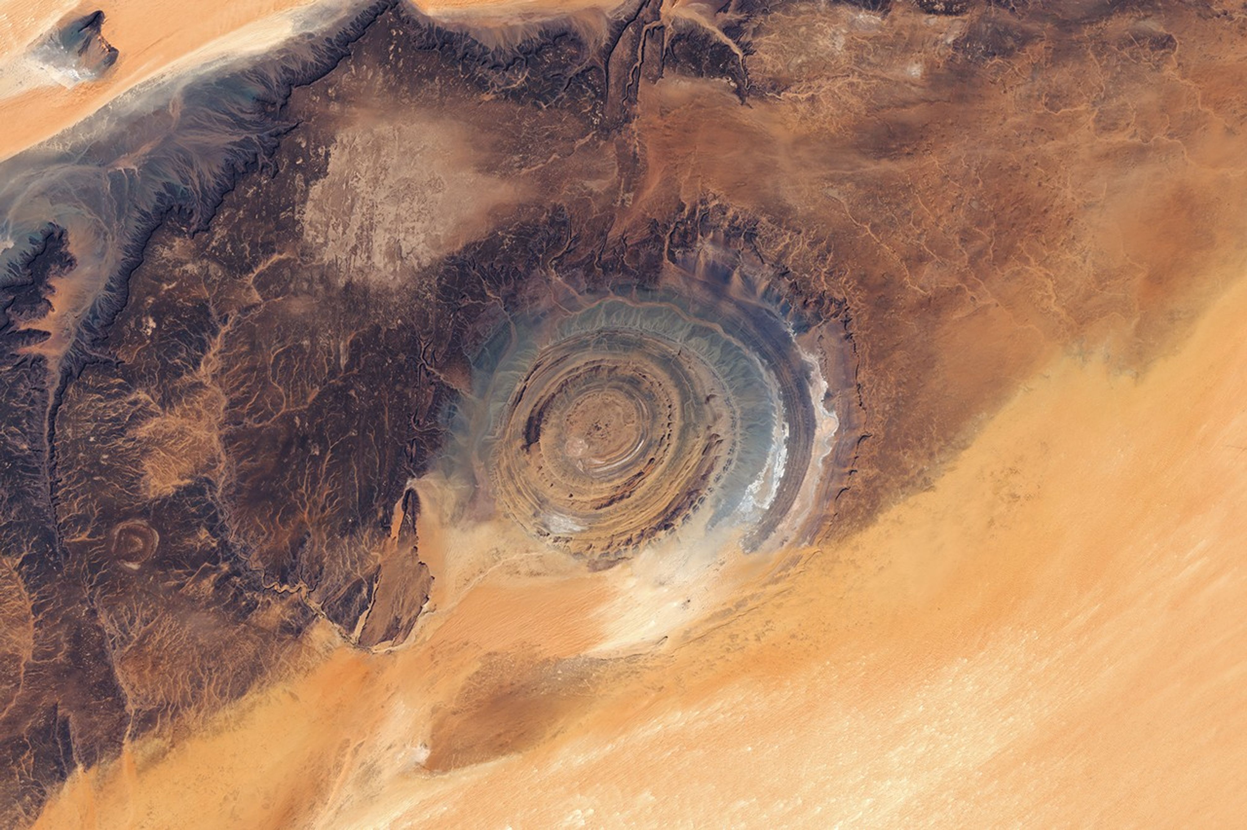
But the region’s most eye-catching feature when seen from above is the Richat Structure—a large geologic formation made of concentric ridges on the eastern side of the plateau. French geographers first described the feature in the 1930s, calling it the Richat “buttonhole.” NASA astronauts Ed White and James McDivitt helped bring wider global attention to what became known as “The Eye of the Sahara” after photographing it during their history-making Gemini IV mission.
The 40-kilometer-wide (25-mile-wide) structure was initially thought to be an impact crater because large meteors can produce circular features on Earth’s surface. However, researchers later showed that it is actually a deeply eroded geologic dome formed by the uplift of rock above an underground intrusion of igneous material. Over time, differing erosion rates among rock types in the exposed upper dome led to the development of circular ridges known as cuestas. The orange and gray colors reflect differences in sedimentary and igneous rock types across the structure and the surrounding landscape.
NASA Earth Observatory image by Lauren Dauphin, using Landsat data from the U.S. Geological Survey. Story by Adam Voiland.
References & Resources
- Abdeina, E.H., et al. (2024) How old is the Eye of Africa? A polyphase history for the igneous Richat Structure, Mauritania. Lithos, 107698.
- Abdeina, E.H., et al. (2021) Geophysical modelling of the deep structure of the Richat magmatic intrusion (northern Mauritania): insights into its kinematics of emplacement. Arabian Journal of Geosciences, 14(22), 2315.
- The Debrief (2021, April 16) The Richat Structure: The “Eye of the Sahara” is One of Earth’s Strangest Marvels. Accessed April 8, 2026.
- Géoconscience, Adrar Plateau. Accessed April 8, 2026.
- International Commission on Geoheritage, Richat Structure, A Cretaceous Alkaline Complex. Accessed April 8, 2026.
- Matton, G., et al. (2005) Resolving the Richat enigma: Doming and hydrothermal karstification above an alkaline complex. Geology, 33 (8), 665-668.
- Matton, G. & Jébrak, M. (2014) The “eye of Africa” (Richat dome, Mauritania): An isolated Cretaceous alkaline–hydrothermal complex. Journal of African Earth Sciences, 97, 109-124.
- NASA Earth Observatory (2022, July 10) The Eye of the Sahara. Accessed April 8, 2026.
- National Archives (1965, June 4) Richat Structure. Accessed April 8, 2026.
You may also be interested in:
Stay up-to-date with the latest content from NASA as we explore the universe and discover more about our home planet.
In southeastern Libya, Jabal Arkanū’s concentric rock rings stand as relics of past geologic forces that churned beneath the desert.

Ireland is best known for its many greens, but the striking grays of the island’s Burren region also stand out…

Over millions of years, water has sculpted limestone in northern Vietnam into an extraordinary karst landscape full of towers, cones,…




The post Eyeing the Richat Structure appeared first on NASA Science.

About Author